In multi-story residential towers, the view from higher floors commands premium pricing. But how do you sell a 35th-floor sea-facing or skyline-facing apartment before the ground excavation is even completed? The answer lies in altitude-calibrated drone videography.
Selling the Horizon: Altitude-Calibrated Aerial Capture
By flying stabilized camera drones at exact coordinate elevations corresponding to future floor levels (e.g. 50m, 80m, 120m), developers can show prospective buyers the authentic sunrise panorama, expressway connectivity, and ocean horizons they will wake up to.
Seamless 3D Drone Tracking Compositing
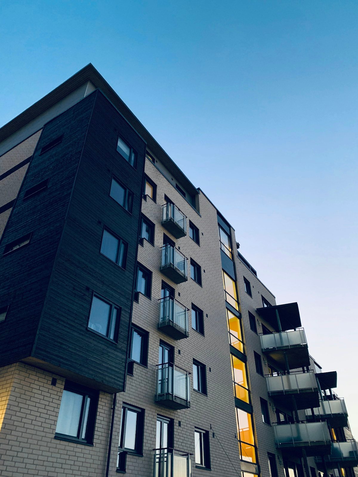
Advanced drone shoots do more than capture video—they serve as the canvas for 3D camera matching. Our CGI department tracks real aerial footage and composites the photorealistic 3D building model directly into the live landscape. Prospective buyers see the completed skyscraper standing gracefully within its real-world neighborhood, complete with moving cars, dynamic lighting, and surrounding infrastructure.