Every monumental architectural creation rests on one foundational prerequisite: an indisputably accurate measurement of the underlying earth. Without precise boundary coordinates and contour levels, even the most visionary structural designs risk catastrophic setbacks.
The Hidden Costs of Inadequate Surveying
Relying on outdated municipal revenue maps or basic tape measurements routinely leads to boundary disputes with adjacent landowners, unexpected subterranean rock encounters, and inaccurate cut-and-fill volume estimations that inflate excavation budgets by millions of rupees.
Modern Survey Instruments in Practice
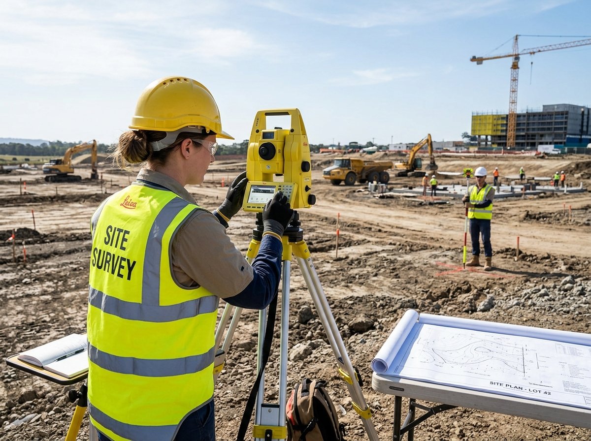
At AJ Model Maker, our surveying division deploys precision digital equipment:
- Electronic Total Stations: Laser-guided distance and angle measurements capable of capturing topographic features with sub-millimeter precision.
- Differential GPS (DGPS): Real-time kinematic satellite positioning establishing georeferenced benchmarks linked directly to official municipal and revenue coordinates.
- Digital Contour Mapping: High-density elevation point clouds that model natural water drainage slopes, retaining wall requirements, and optimal road grading.
Investing in a verified digital survey upfront ensures your architectural design team works from ground reality, preventing redesign penalties during municipal sanction review.